GBT has operated in over 40 countries and completed more than 450 projects, collecting, analyzing, and interpreting various types of data. Highly qualified personnel, state-of-the-art equipment and software, and efficient vessels ensure client satisfaction. Our team provides support for QA/QC, data interpretation, and planning activities throughout the survey process.
The company’s expertise covers all phases of multiple project types, including preparatory activities and data collection during both pre-installation and post-installation stages for marine cables, pipelines, wind farms, ports, and various coastal infrastructures.
Throughout each project, our team is available to develop field, operational, and final reports, as well as precise geodatabases in GIS or charts (e.g., north-up alignment sheets).
Geophysical Surveys
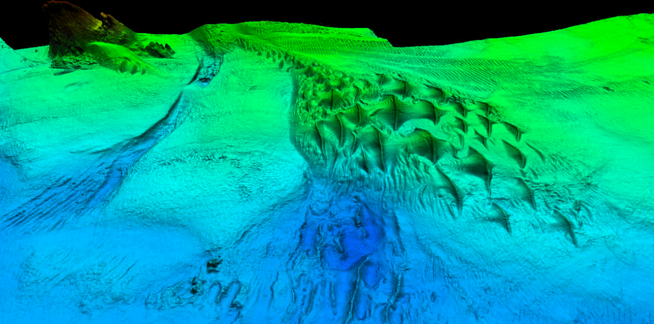
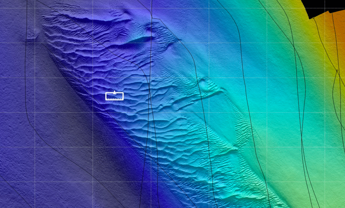
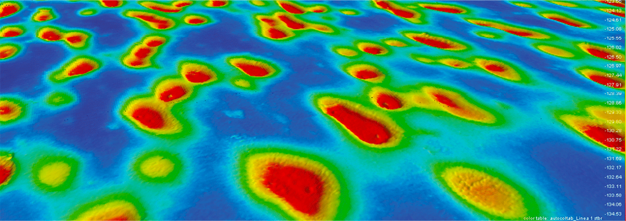
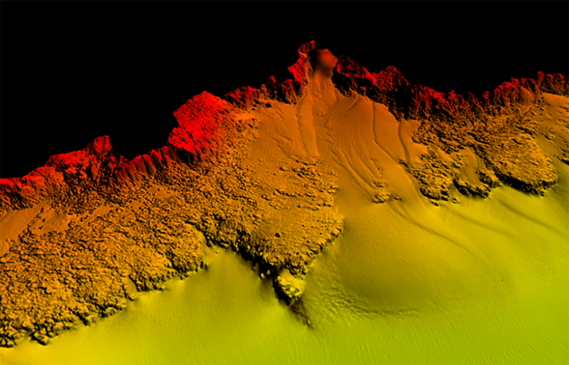
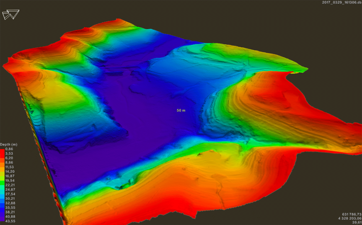
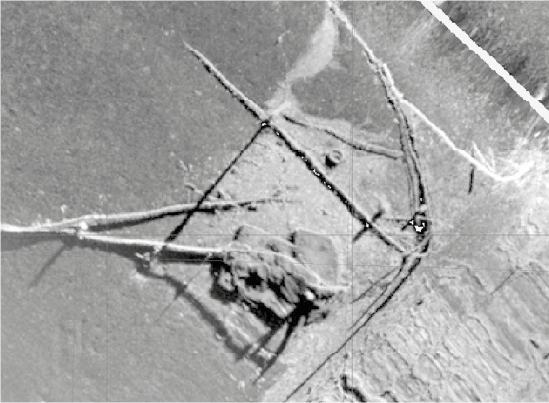
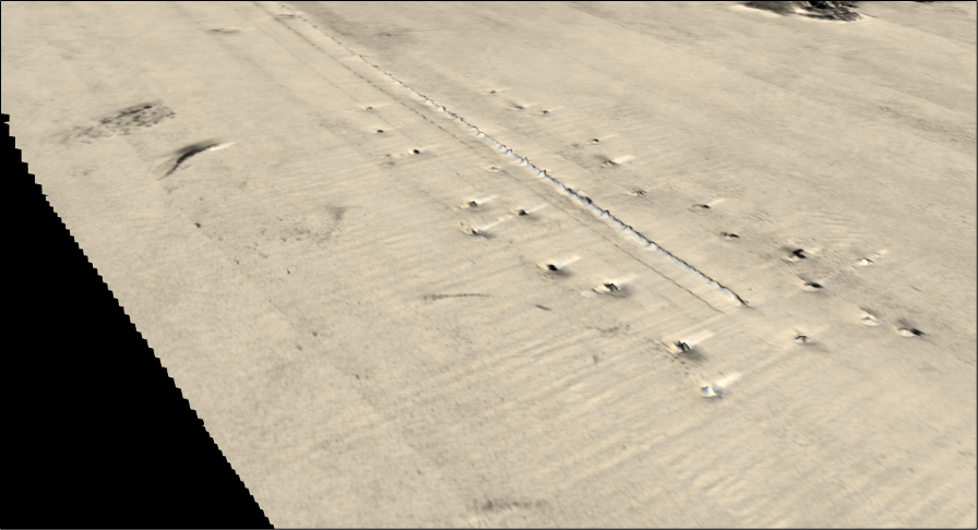
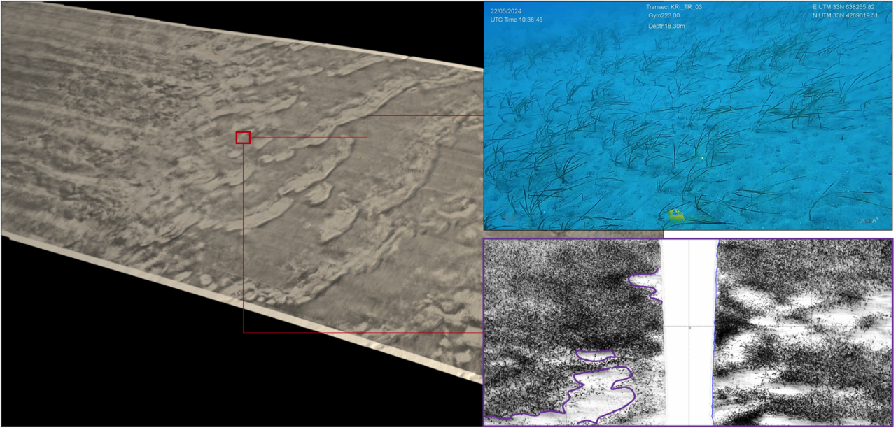
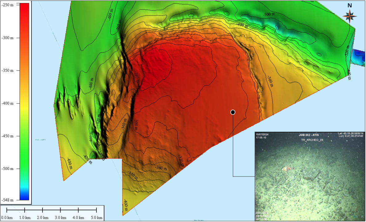
GBT operates with side-scan sonar, magnetometers, and sub-bottom profilers, both in shallow and deep waters. Additionally, we offer comprehensive services for acquiring 2D seismic data (UHR-S and UHR-M), which can be integrated into analog geophysics.
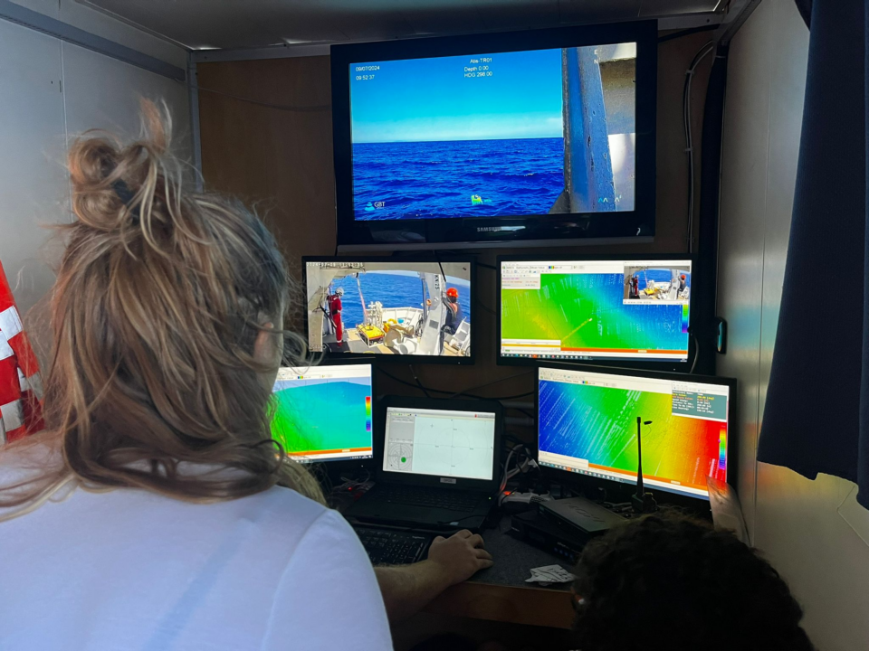
Our professional team provides support for survey planning, data recording, real-time data QC, and target detection. The company utilizes advanced equipment and software to ensure the highest data quality, fully complying with industry standards and guaranteeing optimal results and client satisfaction.
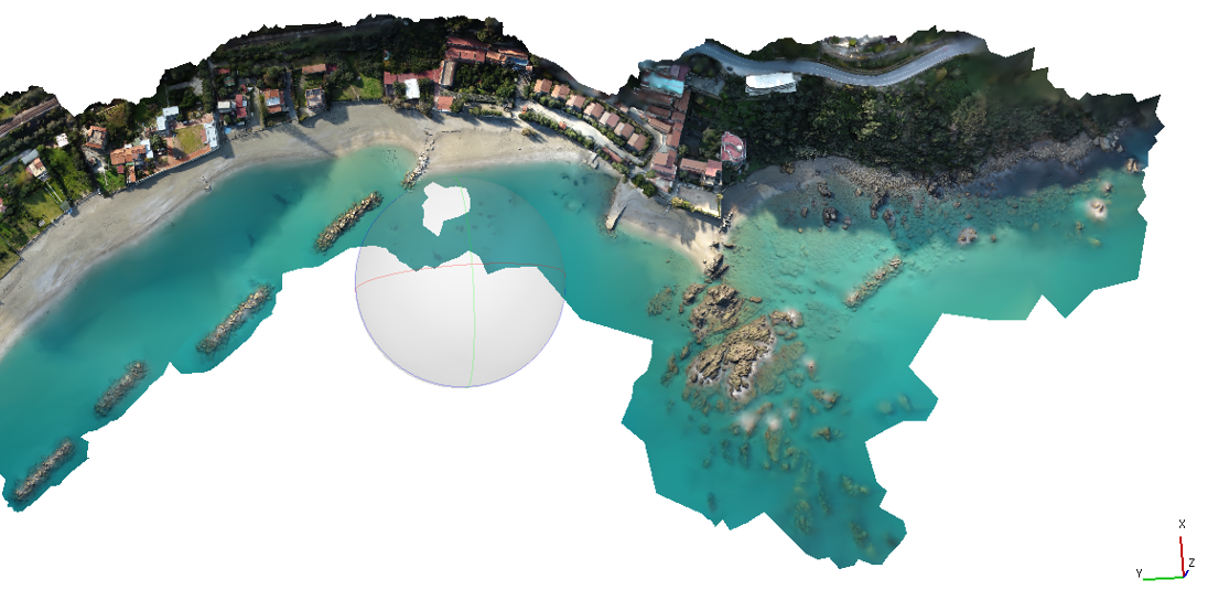
Operational Environments: Seas, lakes, rivers, ports.
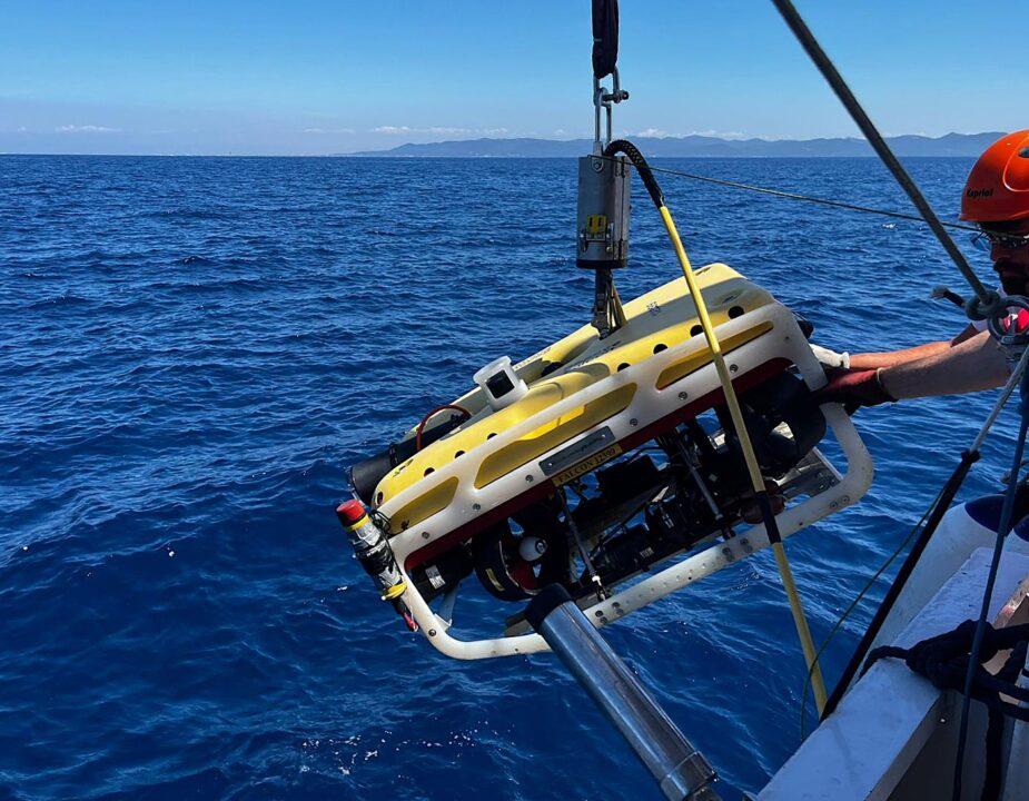
Operational Fields: Geo-hazard identification, target search and detection, pre-lay, as-laid, and as-built surveys for marine pipelines and cables, habitat mapping, archaeological surveys, UXO surveys, and Oil & Gas.
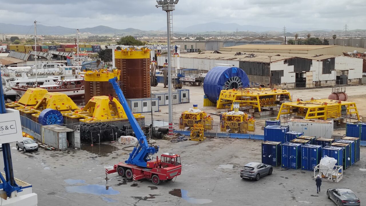
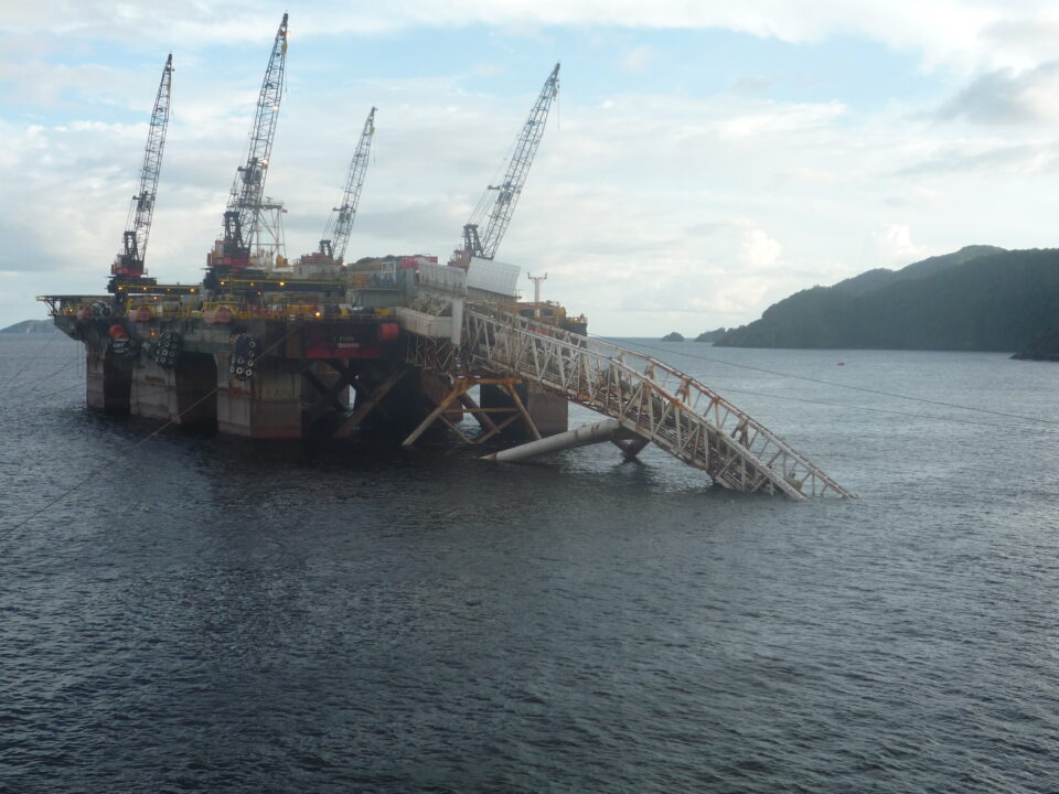
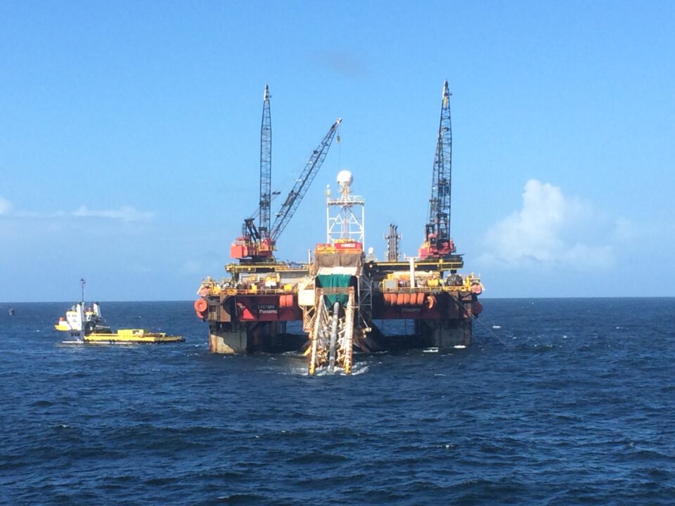
Positioning and Construction Support
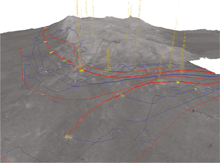
Positioning is a crucial aspect of marine operations – from data georeferencing and structure localization to determining the optimal route for pipelines or marine cables. These tasks rely on accurate and advanced positioning systems, as well as a highly qualified team.
GBT has the full capability, both in personnel and equipment, to support the following operations:
- Barge positioning with Tug Management System
- LBL positioning for subsea installations
- Jacket and platform installations
- FPSO and FSO installation support
- Pipeline, cable, and umbilical installation support
- Shore pull operations support
- Installation of pipeline supports such as mattresses (pre- and post-lay surveys)
- As-built surveys

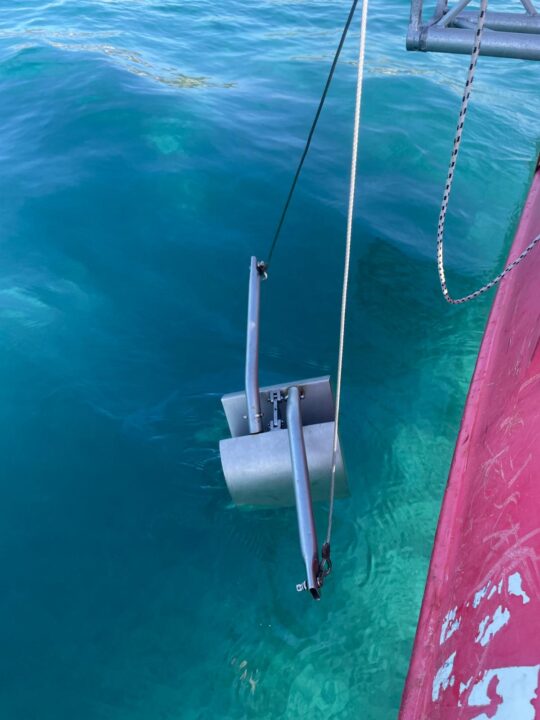
Geotechnical Surveys
Our company provides geotechnical and combined geotechnical-geophysical survey services. Our activities include vibro-coring, gravity coring, grab sampling, box coring, and Cone Penetration Testing (CPT).
Our team offers consulting services for survey planning, data interpretation, and data management for various applications, including:
- Subsea engineering projects
- Groundwork installations
- Drilling and excavation activities
- Rocky substratum identification
- Oil & Gas exploration
- Marine pipeline and cable route planning
- Environmental surveys
Operational environments: Offshore, lakes, rivers, and ports.
Operational fields: Geo-hazard identification, sedimentological and environmental analysis, pre-lay, as-laid, and as-built surveys for marine pipelines and cables, habitat mapping, Oil & Gas, and geophysical survey support.

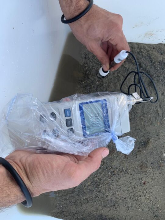
Environmental Surveys
In addition to environmental monitoring and preservation during marine activities, our company provides highly qualified personnel and equipment for environmental surveys.
Our team’s expertise includes the following fields:
- Environmental management and consulting
- Basic ecological studies
- Environmental Impact Assessment (EIA)
- Post-impact assessment studies
- Compliance monitoring, auditing, and environmental assessment reports
- Water sampling